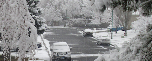
We are in an unusually cool period ahead and, believe it or not, more snowflakes are expected over the western lowlands during the next few days
But before I discuss the forecast, we need to talk.
There is a substantial amount of confusion about the differences between predicted
snowfall and snow accumulation or snow depth.
This difference is particularly true when temperatures are marginal for snow.
Even when the atmosphere is below freezing, the depth of snowfall on the ground can vary immensely.
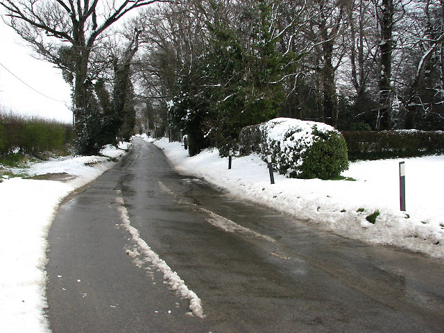
If the ground is above freezing (as it often is around the mild western lowlands), the snow can melt, resulting in far less (or NO) accumulation. This is particularly true on asphalt or concrete streets that support the conduction of heat from below.
Snow can also compress under the weight of the snow above.
Bottom line: event with cold conditions in the atmosphere, the depth of snow can end up much less than expected.
But the situation is "worse" than that with temperatures are on the margin for snow. In marginal situations, where the freezing level is above the surface, the snow is ALREADY melting. The model diagnostics consider wet snow as snow, so a snowfall map can be impressive (5 inches!!), but far less assumulates on the ground where the wet slop rapidly melts away.
For these reasons and others, I constantly note the difference between snowfall and snow accumulation in this blog. Perhaps I need to stress this more. Perhaps I need to show snow depth forecasts!
OK, let me try to do it right in this blog.
During the next few days, we will stay unseasonably cold, with a low center forming off the coast (see forecast sea level pressure map and low-level temperatures a 7 AM Saturday). Temperatures will be marginal for snow over Puget Sound land near sea level, but some flakes in the precipitation is probable. Blue colors indicate areas cold enough for snow to reach the surface.
But Portland is in a better place for snow. A significant pressure difference from west to east across the Columbia Gorge (higher to the east), will push colder air into the northern Willamette Valley. The air will be drier as well, facilitating evaporative cooling.
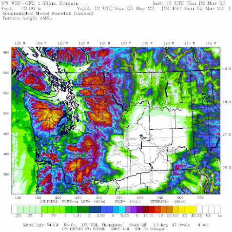
Below is the forecast SNOWFALL total through Sunday morning at 4 AM. Loads of snow in the mountains. But only light amounts (snow flurries) around Puget Sound and NW Washington at lower elevations. Much more over SW Washington where precipitation will be heavier and the terrain is higher, and several inches of snowfall around Portland.
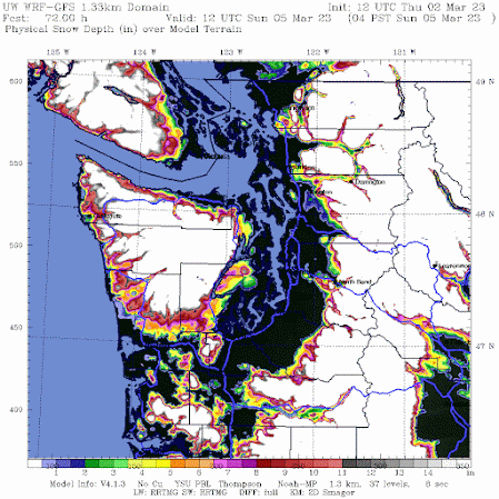
But what about forecast snow DEPTH around western Washington?
NOTHING near sea level around Puget Sound and NW Washington. Nothing along the coast, where snowfall is substantially greater than zero. QED.
Snowfall maps are fun to look at, but they can be deceptive.


